
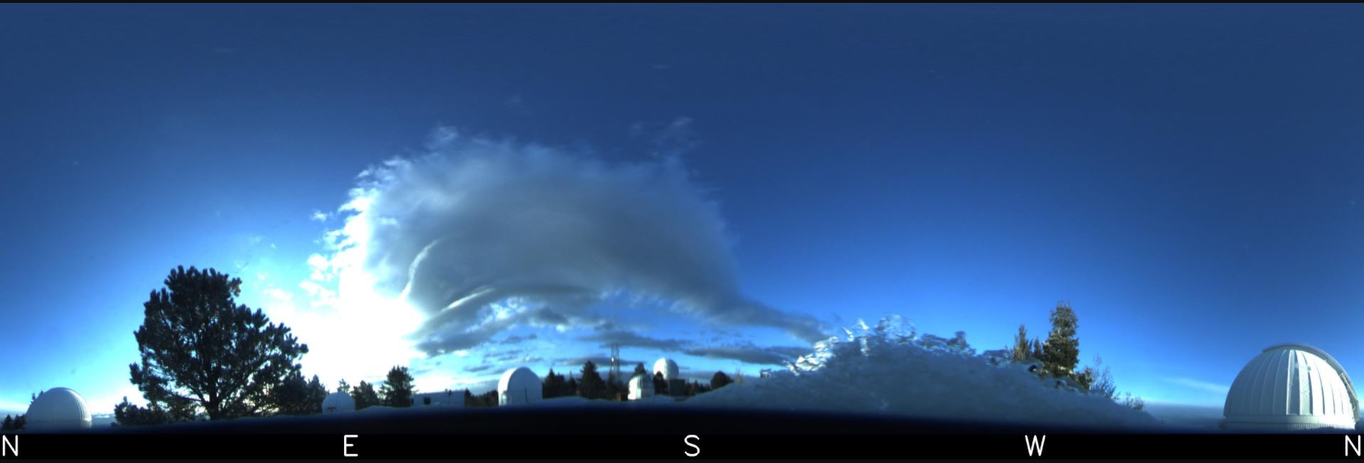
Isolated clouds over the Catalinas at sunrise this morning, with some overcast cloudiness to far northwest. Bottom is view at Mt. Lemmon SkyCenter just before sunrise.

Plots of 24-hour precipitation amounts ending at 6:00 am MST this morning: ALERT north above, ALERT south below, and MesoWest for main metro area second below. Amounts are generally less than 0.20"; however, two sites out toward Three Points had over half an inch. My subjective assessment is that once again the WRF forecasts prevailed over the NWS forecasts.
Here at the house there was a thunderstorm about 2:45 pm but just light showers - total in gauge this morning was only 0.02".


The morning 500 mb analysis (above from SPC) shows the cyclone center to be over the White Mountains, but with considerable cold air and troughing still to our west and southwest. It is of interest that TWC's 500 temperature of -24 C appears to be the coldest observed over the continental US - a pretty rare occurrence. The forecast below (from the 12 UTC WRF-RR at Atmo) indicates a bit of very light shower activity this afternoon, mostly near the Catalinas and Rincons.
I had hoped for enough rain to wet the ground, but no such luck; and now we head into May, which is - on average - the driest month here at the house in my 20+ years of record.

No comments:
Post a Comment