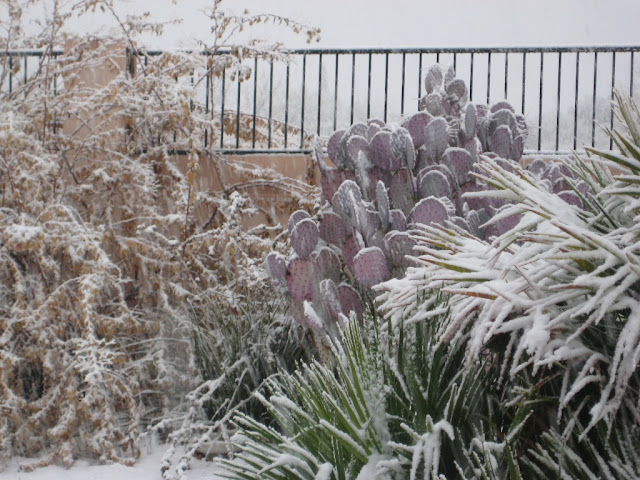
After the snow at mid-day ended, there was a bit of sunshine and it melted away. Then there were rain showers, followed two more periods of snow here at the house. Snow right at dark didn't amount to much, but then there was a period of fairly heavy snow after 9 pm MST. This covered the ground again (but not the patio flagstone). Guesstimated snowfall here at house of 1/2 to 1 inch. There is still a bit of snow on the ground and the rain gauge is holding un-melted snow, so a final reading will await its melting. Atmo's WRF-GFS forecast model made a number of excellent forecasts - although final precipitation amounts were higher than forecast at low elevations. Rainfall across the metro Tucson portion of the ALERT network ranged from 0.12" to 0.63" - but there may be un-melted snow in some of those gauges also. The very cold air aloft manged to squeeze out a large percentage of the moisture that the system carried in with it. For the first time this winter, there was a complete TUS sounding when I wanted to calculate the thickness. At 00 UTC last evening the 500 mb temperature at TUS was -30C and the 1000-500 mb thickness was 5336m.
Out at the golf tournament, less than half the field had gotten off the first tee when play was suspended for the day. The paper says they hope to complete both the 1st and 2nd rounds today - but there still may be snow cover out there. This morning will also see Tucson's Rodeo Parade, which will be a damp and chilly event.
Michael Eckert provided a nice link showing the snow at Dove Mountain to folks on the MAP list - see
http://www.dailymail.co.uk/news/article-2282044/Snow-desert-Nearly-unprecedented-snowfall-halts-play-Arizona-golf-tournament-Midwest-braces-deadly-winter-storm.html
Ron Holle sent these photos from his yard in Oro Valley, taken about 5 pm yesterday. Looks like frozen orange juice out there. Bottom photo shows snow on ground here for the second time yesterday - taken about 9:15 pm.
Thursday, February 21, 2013
Subscribe to:
Post Comments (Atom)


No comments:
Post a Comment