Monday, November 25, 2019
November To End With Rain And Snow
Another dreary morning, as middle and high cloudiness streams in from west of Baja (IR image below is from 7:00 am MST). Way down at bottom is photo of Saturday's sunrise east of Sonoita.
Models continue to forecast (GEFS plumes for QPF at airport above) another significant storm - this one centered on the 29, but beginning on Thanksgiving. The 500 mb forecast below (from 06 UTC GFS valid at noon on Thanksgiving) shows a high amplitude trough and closed lows over the West.
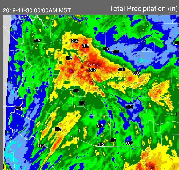
These forecasts for accumulated precipitation (above) and accumulated snow (below) are for the period ending at midnight on Friday the 29th (from 00 UTC WRF-GFS run at Atmo). Heavy amounts of snow forecast across the Rim country and also on the Sky Islands of southeast Arizona.
Special statement from Flagstaff NWS this morning is shown below.
Subscribe to:
Post Comments (Atom)


No comments:
Post a Comment