Friday, July 08, 2022
First Week Of July
Tuesday, July 05, 2022
Little In Way Of Weather Fireworks
Some cumulus were bubbling over the Catalinas at 5:30 am MST this morning.
Thunderstorms mostly avoided the metro area again yesterday - see plot of detected CG flashes above for 24-hours ending at 1203 UTC this morning (from Atmo and Vaisala).
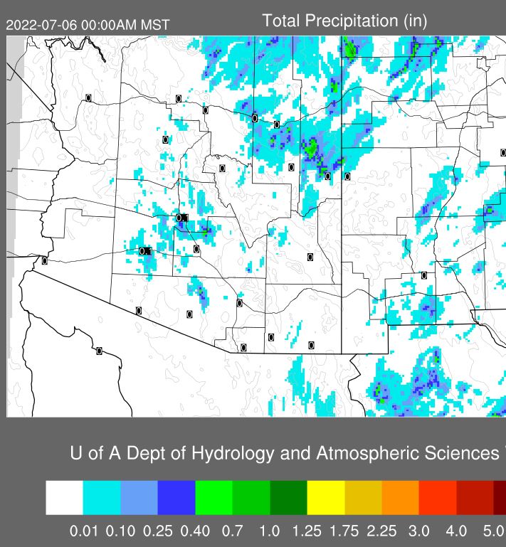
ALERT plots (above and below for 24-hour rainfall ending at 7:00 am) show mostly reports of light amounts northwest and south of the metro area - nothing here except a slight sprinkle in afternoon. Note the lone report of over an inch out near Picture Rocks, as well as a report of 0.75" west of Green Valley.
This morning's TWC/TUS sounding above is very moist and quite unstable - looks promising. But, the 12 UTC WRF-RR forecasts drop the PW to about an inch before noon, and the CAPE vanishes. Plot of 14 UTC TPW (below) shows the drier air to our southeast .
Forecast from today's 12 UTC WRF-RR of precipitation through midnight tonight (above) keeps most of southeastern Arizona suppressed. The 06 UTC GEFS plumes for QPF at the airport (below) indicated early morning showers at the airport - these did not materialize. The rest of week is nearly flat-lined, with little rain indicated through next Monday.
Monday, July 04, 2022
July Fourth
Pre-sunrise skies in Tucson this Fourth of July made for scenic views.
Plot of detected CG flashes (above from Atmo and Vaisala) is for 24-hours ending at 1253 am this early morning. Thunderstorm activity yesterday avoided the metro area and stayed mostly over or near the mountains. Map showing ALERT precipitation (below) through 7:00 am MST this morning indicates rain recorded (very light amounts) at only 5 sites.
This morning's TWC/TUS sounding (above) remains little changed from past couple of days. Warm temperatures from about 350 to 500 mb are killing any CAPE (500 mb temperature a very warm -4 C).
However, the 12 UTC WRF-RR forecast somehow cools these temperatures and allows considerable CAPE to develop this afternoon. The result in the model forecast is several heavy storms over parts of metro area (forecast of composite radar echoes below is valid at 6:00 pm this afternoon).
Second below is current NWS forecast for today and tomorrow.
Saturday, July 02, 2022
Heavy Storms Yesterday
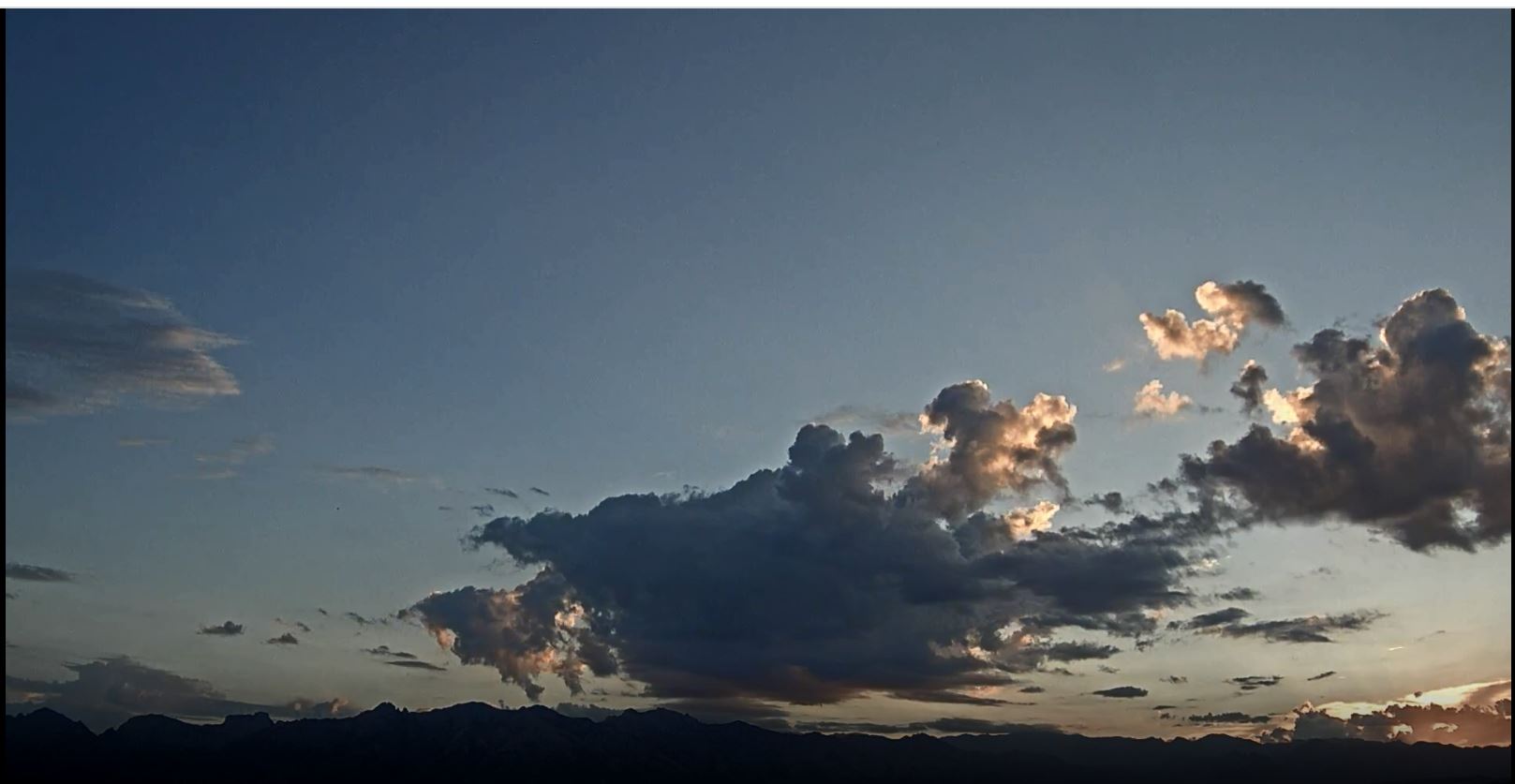
Heavy thunderstorms moved into the metro area from the Catalinas at mid-afternoon. Gusty outflows of 45 to 55 mph produced some tree damage i the north part of the metro area. Above photo is from just before 4:00 pm MST.
Friday, July 01, 2022
Friday July !st
Middle clouds and some mountain cumulus before sunrise this morning.
The maps above and below show total June rainfall across the ALERT network. The range was very large: 5.20 inches at Mt. Lemmon to zero at many sites. Total here for month was only 0.09" - which fits with the large metro region with little or no rainfall.
Plot above showing detected CG flashes for 24-hours ending at 0803 UTC this morning indicates little thunderstorm activity over the area, except for an isolated storm near the airport. ALERT plot below shows rainfall ending at 7:00 am this morning. The airport reported thunder and 0.07", but DM had 0.51" along with a thunderstorm gust to 43 mph. Atmo reported 0.03" and we had zilch here at house.
The 500 mb pattern (above) remains an unorganized mess across southern half of country. The morning TWC/TUS sounding below continues very moist, with light/variable winds below 300 mb, but with an increase in CAPE today. Sounding looks favorable for storms, except for the strange dry layer around 850 mb.
The 12 UTC run of the WRF-RR at Atmo (second below) forecasts a nearly classic Tucson donut hole for precipitation through midnight tonight. Would be nice to get a heavy storm from the Catalinas drift into our part of town this afternoon/evening.
Thursday, June 30, 2022
Light Shower Here
Hazy, dirty skies this morning at 7:20 am MST.
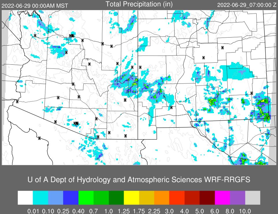
There were scattered thunderstorms around southeast Arizona yesterday afternoon and evening, and then some light showers around parts of metro during early morning hours. Rainfall for 24-hours ending at 7:00 am this morning shown here: above from ALERT network where 17 sites recorded 0.04" or more and below from MesoWest which shows quite a few reports of light amounts or a Trace across much of metro area. We had 0.01" here at a bit after 3:00 am. Plot of detected CG flashes (second below - from Atmo and Vaisala) shows a distinct lack of flashes across a significant portion of the metro area.
The morning 500 mb analysis (above) shows weak height gradienst and a chaotic anticyclone across southern portion of contry - one weak anticyclone center appears to be off to our southeast in northern Mexico. The morning sounding has increased moisture below 600 mb and some CAPE, with continued light/variable winds aloft. The sounding appears more favorable to me for lower elevation storms today. However, the 12 UTC WRF-RR forecast for rainfall through midnight tonight indicates little shower activity for Pima County - time will tell.
Wednesday, June 29, 2022
Down Day Yesterday
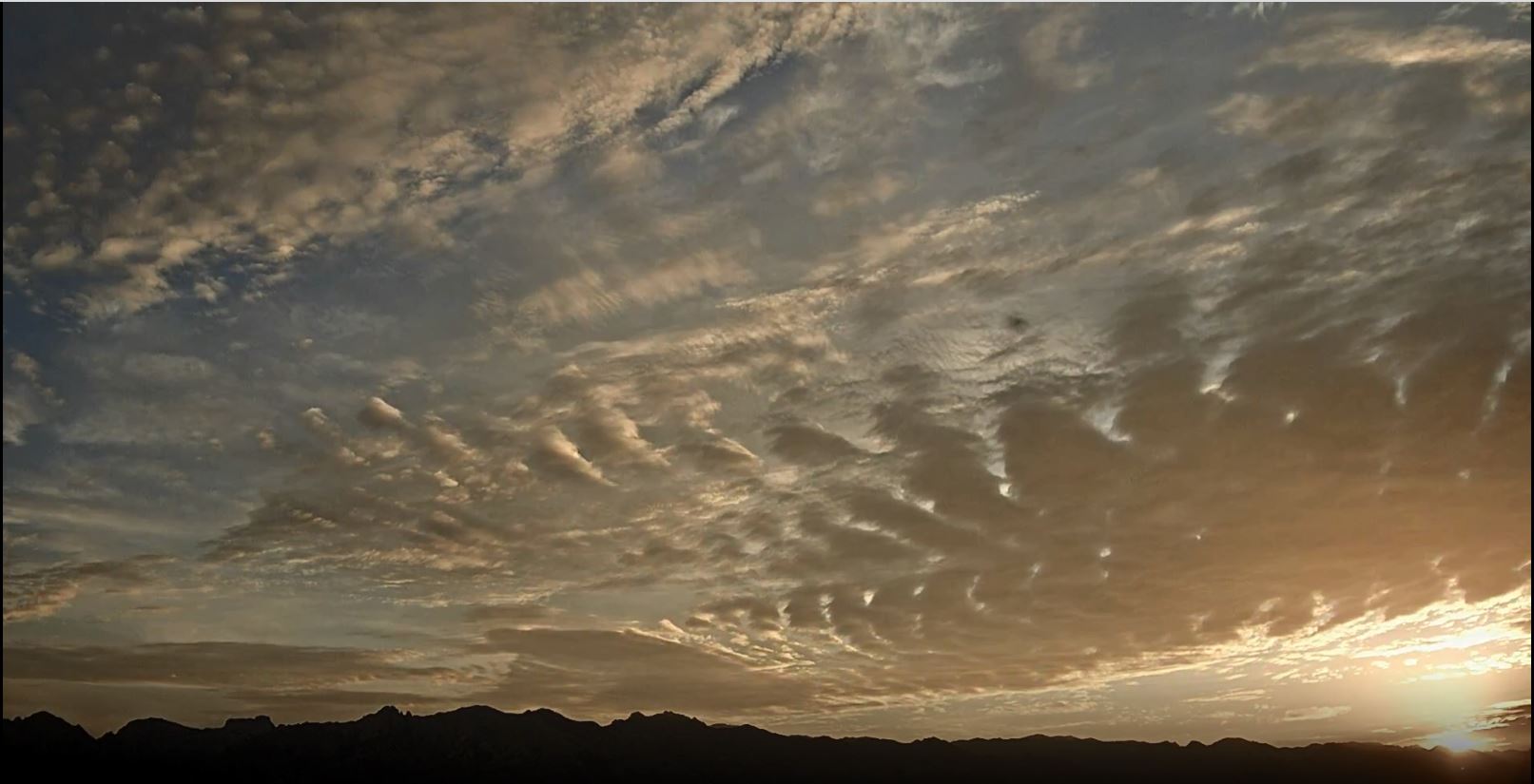
Touch of pink over the Catalinas at about 5:15 am MST, just before sunrise.
Tuesday, June 28, 2022
Few Showers Around
Some cloud color over the Catalinas before sunrise this morning.