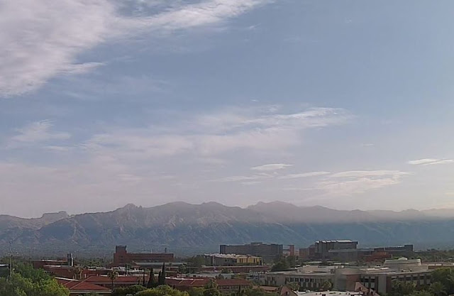
Hazy, dirty skies this morning at 7:20 am MST.
There were scattered thunderstorms around southeast Arizona yesterday afternoon and evening, and then some light showers around parts of metro during early morning hours. Rainfall for 24-hours ending at 7:00 am this morning shown here: above from ALERT network where 17 sites recorded 0.04" or more and below from MesoWest which shows quite a few reports of light amounts or a Trace across much of metro area. We had 0.01" here at a bit after 3:00 am. Plot of detected CG flashes (second below - from Atmo and Vaisala) shows a distinct lack of flashes across a significant portion of the metro area.
The morning 500 mb analysis (above) shows weak height gradienst and a chaotic anticyclone across southern portion of contry - one weak anticyclone center appears to be off to our southeast in northern Mexico. The morning sounding has increased moisture below 600 mb and some CAPE, with continued light/variable winds aloft. The sounding appears more favorable to me for lower elevation storms today. However, the 12 UTC WRF-RR forecast for rainfall through midnight tonight indicates little shower activity for Pima County - time will tell.


No comments:
Post a Comment