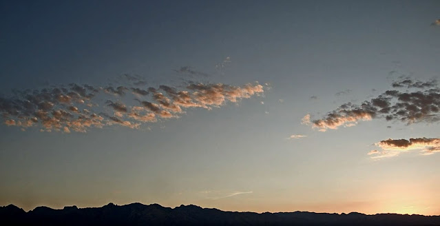
Touch of pink over the Catalinas at about 5:15 am MST, just before sunrise.
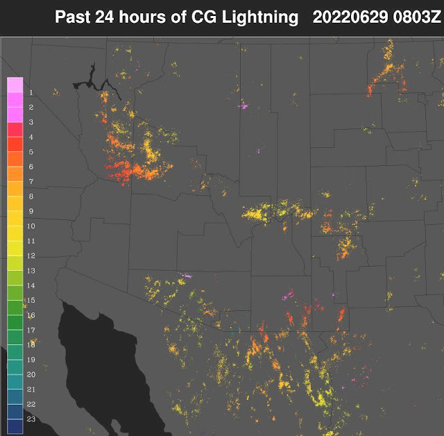
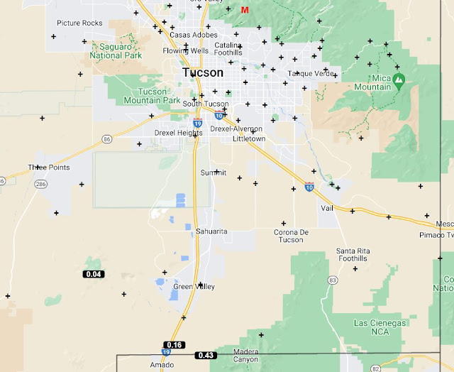
Scattered thunderstorms occurred across the western two thirds of Pima County yesterday, but totally avoided the Tucson area (plot of detected CG flashes above from Atmo and Vaisala for 24 hours ending at 0803 UTC this morning). Was definitely a down day, as predicted by the WRF-RR (see post below). Across the entire ALERT network there were only three reports of rainfall - below ending at 7:00 am this morning.
There was no morning sounding from TWC today. Above shows sounding forecast for 4:00 pm this afternoon by the 12 UTC run of the WRF-RR at Atmo. The sounding has a very deep and relatively dry boundary layer (BL), a sliver of CAPE, and light/variable winds through the troposphere - not very promising.
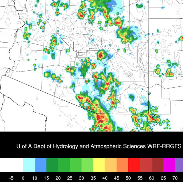
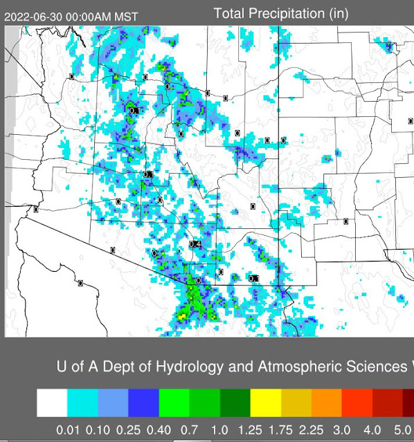
However, the model forecasts storms in eastern Pima County, as per composite radar echoes below valid at 5:30 pm. Precipitation forecast from the same run (second below) indicates scattered light rainfall across the metro area, with a strong cell apparently hitting the airport - note the 0.40" there. So, hopefully a bit more active day - I'll watch to see what transpires.

No comments:
Post a Comment