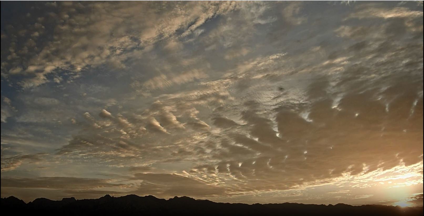
Pre-sunrise skies in Tucson this Fourth of July made for scenic views.

Plot of detected CG flashes (above from Atmo and Vaisala) is for 24-hours ending at 1253 am this early morning. Thunderstorm activity yesterday avoided the metro area and stayed mostly over or near the mountains. Map showing ALERT precipitation (below) through 7:00 am MST this morning indicates rain recorded (very light amounts) at only 5 sites.


This morning's TWC/TUS sounding (above) remains little changed from past couple of days. Warm temperatures from about 350 to 500 mb are killing any CAPE (500 mb temperature a very warm -4 C).
However, the 12 UTC WRF-RR forecast somehow cools these temperatures and allows considerable CAPE to develop this afternoon. The result in the model forecast is several heavy storms over parts of metro area (forecast of composite radar echoes below is valid at 6:00 pm this afternoon).
Second below is current NWS forecast for today and tomorrow.


No comments:
Post a Comment