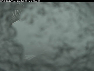
The cold front associated with the 500 mb shortwave that is now moving across Arizona (see above 12 UTC NAM analysis for February 28, 2010) moved across southeastern Arizona during the early morning hours. There was a strong frontal band of showers and apparently some embedded thunderstorms (the TUS NWS radar has been down since around midnight, so no radar info for southeastern Arizona is available for this event) - Nogales carried lightning on their obs and Phoenix had several thunderstorms observed. Winds gusted from the west at up to around 40 mph. General rain or snow has occurred across most of the state except for far northern and eastern reaches. The 100% POPs forecast by the NWS has verified nicely and light rain continues here at house. At 6 am we had received 0.35" and amounts around southeastern Arizona were generally arounf 0.20 to 0.50", although some stations in the Catalina foothills had around 0.75". Amounts were also around 0.75" or so in the Phoenix area. The top image above is from Kitt Peak and shows that winds had blown the rain or snow there onto the camera and it appears to have frozen, producing the artistic result.

No comments:
Post a Comment