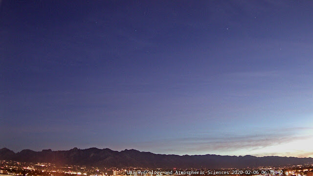
View from campus at a bit after 6:00 am MST this morning - mostly high, thin cirrus moving rapidly south.
Down at bottom is image of the Grand Targhee, Wyoming, lighted snow "stake." Heavy snows have been occurring over much of the Northwest.
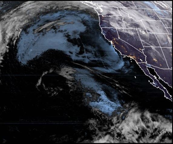
Satellite view from GOES-17 at 6:20 am - the cirrus over Arizona is visible, as well as the Phoenix and Tucson metro areas (light orange areas).
Forecast above (from WRF-GFS at 06 UTC) is for temperatures at 4{00 pm this afternoon - temperatures about 10F warmer than yesterday's very chilly highs in the 40s.
Below shows plumes for precipitation at airport, indicating chances for first February rain by mid-week next week.
January total precipitation for the ALERT network - totals at low elevations generally 0.50 to 0.75 inches. Here at the house we measured 0.70 inches. There were 13 morning's with lows of freezing or below, including yesterday's 19F.


No comments:
Post a Comment