Monday, February 27, 2023

Sunday's Precipitation


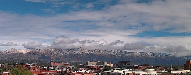
View of Catalinas at about 11:00 am MST yesterday morning shows that snow levels came down onto the foothills before the morning precipitation ended.

ALERT measurements for the event (above and below) show that considerable rain fell on the mountains before it changed over to snow. Here at the house showers began before sunrise and continued into mid-morning - total here was 0.34".


Looking ahead to mid-week, and start of March, the 00 UTC runs from the GEFS indicate another event on Wednesday the 1st. The QFP plumes are shown above, and plumes for P-Type (below) indicate strong chances for rain and snow mixed before the event ends. Second below shows 00 UTC WRF-GFS precipitation forecast through 5:00 am on March 2nd, as our unsettled period continues.


No comments:

Post a Comment