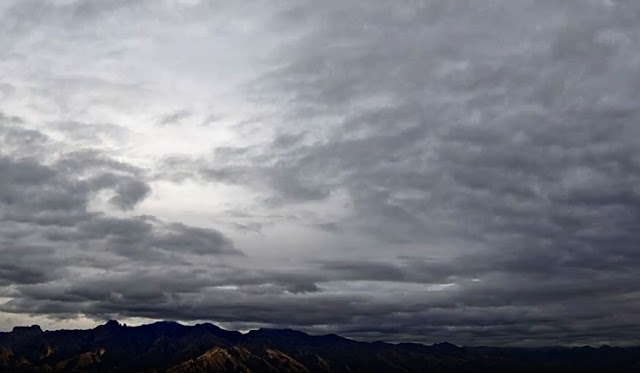
Heavy clouds over the Catalinas at about 7:50 am MST this morning.
Above shows current morning forecast from NWS for the airport - note that POPs for today (Thursday) have ranged from 30 to 70 percent since last Sunday. The nasty weather for the end of year will be associated with two rapidly moving troughs moving into and then across Arizona - as per 06 UTC GFS 500 mb forecast below valid at 11:00 pm MST Friday night.
Shown here are three graphics from the 06 UTC forecast run of the WRF-GFS at Atmo. Above shows forecast for strong wind speeds over southeastern Arizona at 3:00 pm tomorrow afternoon. Forecast below is for total precipitation through noon on Saturday - 1 January 2022. Second below is WRF forecast for snow amounts through 5:00 pm on New Years Day - models keep snow mostly on the mountains.
Very nice graphic below from the NWS shows expected snow amounts at various elevations on the Catalinas. If this verifies, the road up the mountain to Summerhaven will undoubtedly be shut down some time tomorrow.


No comments:
Post a Comment