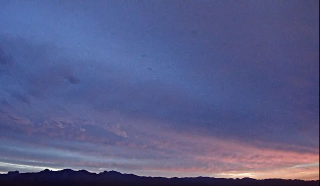
Dreary morning with heavy cloud cover, but there was some color a bit before sunrise.
IR image (above from 1411 UTC or 7:11 am MST) shows an area of clouds over southeastern Arizona and northern Mexico. There is an area of light showers from southeast to southwest of the metro area. Some lightning was detected within past hour or so down in Santa Cruz County near the border. Composite radar below is from a bit before 7:00 am.
The 500 mb analysis this morning (above from SPC) shows that the shoer activity is associated with a weak short-wave trough to our south. Up at 300 mb (below) the trough is barely detectable. The short wave across the western US has a strong jetstream on its back side, which will result in the trough digging and becoming a closed low near San Diego by tomorrow.


No comments:
Post a Comment