Early morning view of Catalinas from campus this morning. Down at bottom is image a bit after moonrise last night - about 11:30 pm MST. Note - if anyone knows what the flame or flare that burns on Catalinas each night is, please let me know.
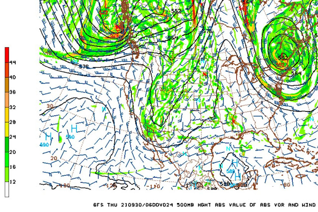
There is a digging trough over the western US this morning - see strong jet on backside of the trough at 300 mb (above). The 500 mb forecast (below - from 12 UTC WRF-RR run at Atmo) indicates the trough north-to-south across Arizona at 06 UTC tonight. Forecast sounding for TUS/TWC valid at same time is second below. Sounding is quite moist (32 mm versus 22 mm this morning) with considerable CAPE.
However, the model's forecasts for accumulated rainfall seem a bit mysterious - above rain through midnight and below through noon tomorrow, with almost nothing for all of Pima County.
For comparison at bottom, is the morning forecast for the airport from the NWS.


No comments:
Post a Comment