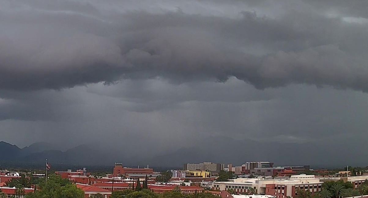
Heavy storms over the western Catalinas at 3:30 pm MST yesterday afternoon. Down at bottom is view at 6:26 am this morning.

Plot of detected CG flashes (above for 24-hours ending at 0753 UTC last night) shows a distinct donut hole over much of the metro area.

However, data from the ALERT network (above and below) shows that rains of at least 0.04" occurred at a high percentage of the sites. Note the very heavy amounts over the eastern Catalinas. The 4.92" at Pima Canyon near Table Mountain occurred between 2:30 and 4:30 pm. Here at house showers from 3:00 to 5:00 pm totaled 0.45" - making the total here for day 0.64". This was most rain since the event of 1 July. The airport reported thunder with gusts to 40 mph, but only 0.02".


This morning's TWC/TUS sounding (above) remains moist with a bit of CAPE. The winds are light southerly below 300 mb, with stronger east winds above that. Difficult forecast today - the shallow surface layer could heat out, producing a new but shallow BL that would have a significant cap - or, significant heating could mix the BL out to 700 mb, but there would then be little CAPE.
The WRF forecast runs are not consistent - some runs produce almost no rain in Pima County today; while other runs forecast heavy storms in the metro area during the evening and night.
The NWS morning forecast (below) keeps POPs high with heavy rains and a Flash Flood Watch. I would lean toward a mostly down day, i.e., a typical scenario after widespread rains.


No comments:
Post a Comment