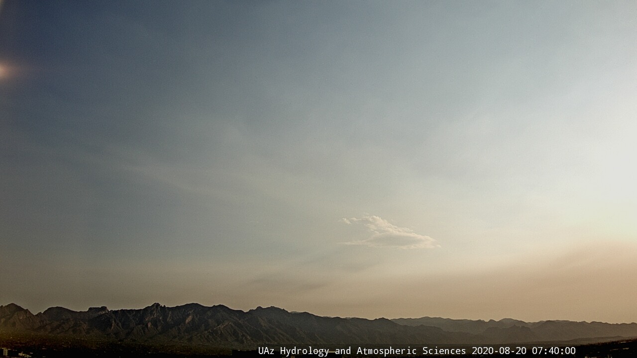

Skies to northeast this morning were very smokey, making for a red sunrise. View at bottom shows heavy rain shower associated with Genevieve over the GoC, as seen from Loreto, Mexico.
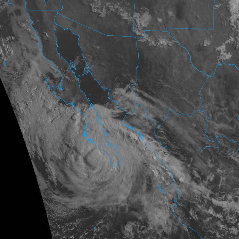
Hurricane Genevieve has weakened rapidly as it passed by the south end of Baja, and has winds just barely strong enough to qualify it as a Cat 1 hurricane (satellite image above from 7:30 am MST this morning). Latest forecast from NHS is shown below.
Second below shows PW analysis for 6:00 am - moisture values have increased to around 1.5 inches over southwestern Arizona, with the very high values associated with Genevieve still confined to south half of GoC. A surge of low-level moisture up the GoC, triggered by Genevieve, reached Yuma at 7:00 am with gusty south-southeast winds and a dewpoint jump up to 75 F.


The 500 mb analysis for 12 UTC this morning illustrates dramatically the impact of the continuing heights that are two low at Phoenix and Chihuahua, Mexico. The loop over north-central Mexico would actually indicate a wind direction 180 degrees out-of-phase with the Chihuahua observation. The 594 dm contour should basically encircle Arizona, but the Phoenix error reduces it to a little kidney bean over northwest Arizona.

The 12 UTC TWC sounding (above from SPC) has considerable CAPE, and I would think that there should be storms around this afternoon. However, the WRF runs available tend to keep the activity centered over Cochise County and leave us high and dry again - forecast below is from 06 UTC WRF-GFS and shows total precipitation forecast on 5.4 km grid through midnight tonight.


No comments:
Post a Comment