
The 500 mb analysis above is from the 00 UTC run of the operational GFS model. The subtropical ridge stretches across Florida, westward along our Borderlands, and on to the west north of Hawaii. We remain under the dry flow around the east Pacific lobe of the high, and tropical disturbances are blocked far to our south by the ridge. The subsidence with this anticyclone has been keeping our skies deathly clear - below is visible image centered on Arizona at 6:00 am MST this morning. The "June gloom" under the oceanic stratus over at San Diego would be welcome break for us desert dwellers.

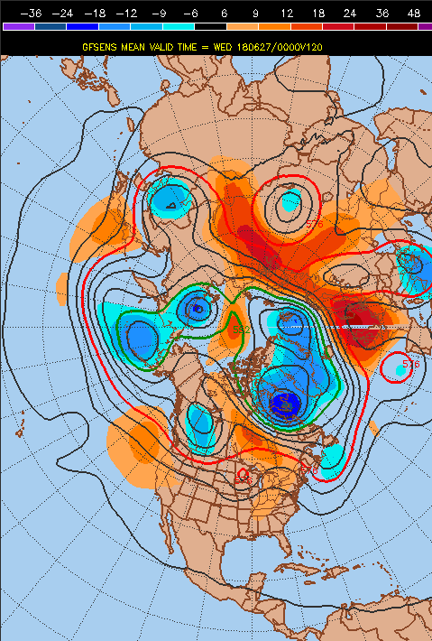
The GEFS forecasts (mean of the ensemble members for 00 UTC on 27 June above and 12 UTC on 30 June below) for 500 mb continue the blocking ridge overhead through much of next week. However, by the end of the month the models forecast a Pacific trough that breaks the ridge and opens to lower latitudes to our west (below), which is certainly what I'd like to see happen.
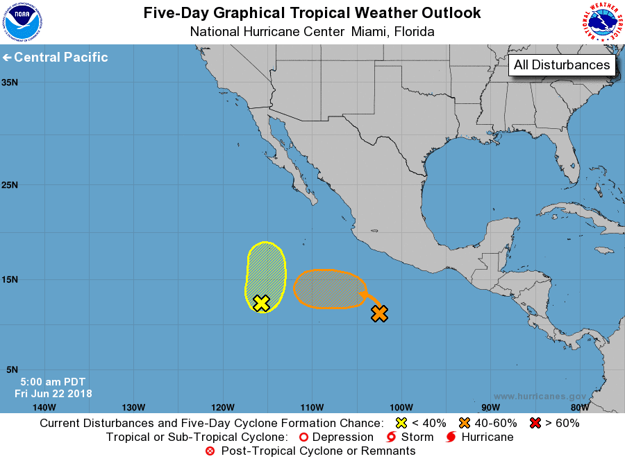
The NHC 5-day outlook at bottom indicates the possibility of tropical storm activity west of Mexico by the time the break in ridge occurs. These forecasts are for a very-long time range, but the trend is good, compared to what we're currently observing.

No comments:
Post a Comment