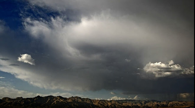
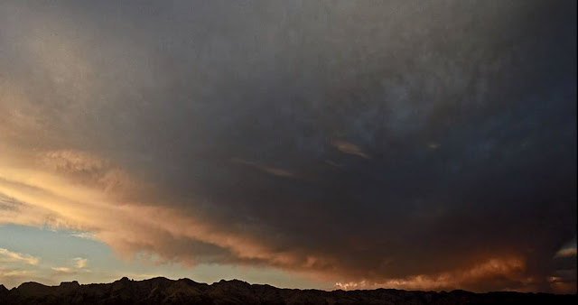
Storm over Catalinas (above and bottom) a bit before 6:00 pm yesterday.
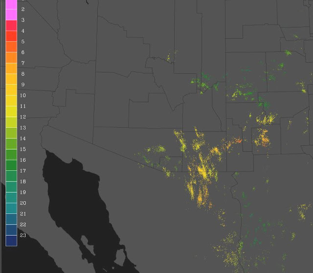
Plot of detected CG flashes (above, from Atmo and Vaisala) for 24-hours ending at 12 UTC today, shows that thunderstorms stayed east to south to southwest of metro area yesterday. There was little rain in Pima County, with two reports of less than a tenth of an inch in the Catalinas and Rincons - slightly higher amounts down in Cochise County.
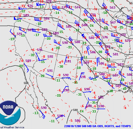
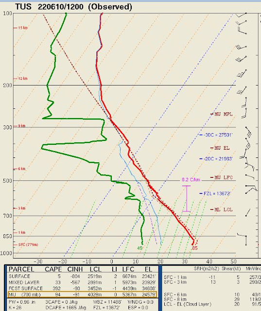
The 500 mb analysis this morning (above) shows a 5920 m anticyclone centered over the White Mountains - a fairly dismal pattern. The morning sounding from TWC (below) shows dry low levels and a lack of CAPE.
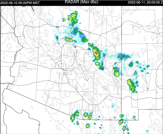
The 12 UTC forecast from the WRF-HRRR model run indicates only some isolated thunderstorms along the border for today - forecast below is valid at 5:00 pm this afternoon.
No comments:
Post a Comment