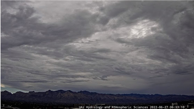
Heavy clouds over the metro area this morning, and perhaps a few lingering sprinkles around.
Plot of detected CG flashes for 24-hours ending at 1203 UTC this morning (from Atmo and Vaisala) shows that thunderstorms mostly avoided eastern Pima County during the period.
However, light showers crossed our area during the early morning hours today. The ALERT reports (above and below), indicate that amounts of 0.04" and greater mostly avoided the metro area. But amounts were heavy over the Catalinas - one site reported over two inches.
Plot focused on the metro area (second below, from MesoWest) shows that many spots in the city had light amounts, or a Trace. We had 0.06" around 3:30 am MST this morning - just enough to dampen the soil.
Morning sounding from TWC/TUS (above) shows that PW jumped to over an inch and a half - but, it will be hard for limited heating today to break the strong inversion at 850 mb. Winds were light and variable through most of the troposphere.
Forecast 500 mb level from the 06 UTC GFS (above) shows a weak trough stretcheing from northeastern New Mexico to southeastern Arizona. Anticyclone centers are over Nevada and central Texas - note that TS Celia is well west of southern end of Baja - that storm is moving west and weakening.
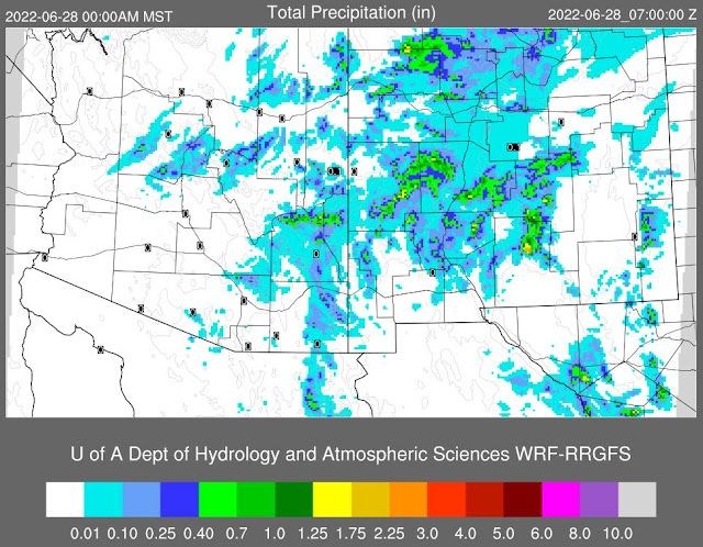
The 12 UTC forecast (below) from the 12 UTC WRF-RR run at Atmo indicates little activity today for all of Pima County, with perhaps some showers on the Catalinas. After a very active day for most of Arizona yesterday (see CG plot above), model forecast indicates much less storm activity today.


No comments:
Post a Comment