
Clear skies just before sunrise this morning at about 5:15 am MST.
The 500 mb pattern at 12 UTC this morning (below) is quite chaotic because of weak height gradients. There is basically a large ridge which extends from the Carolinas westward to Arizona. There appear to be anticyclone circulation centers over Arkansas and the Carolinas.

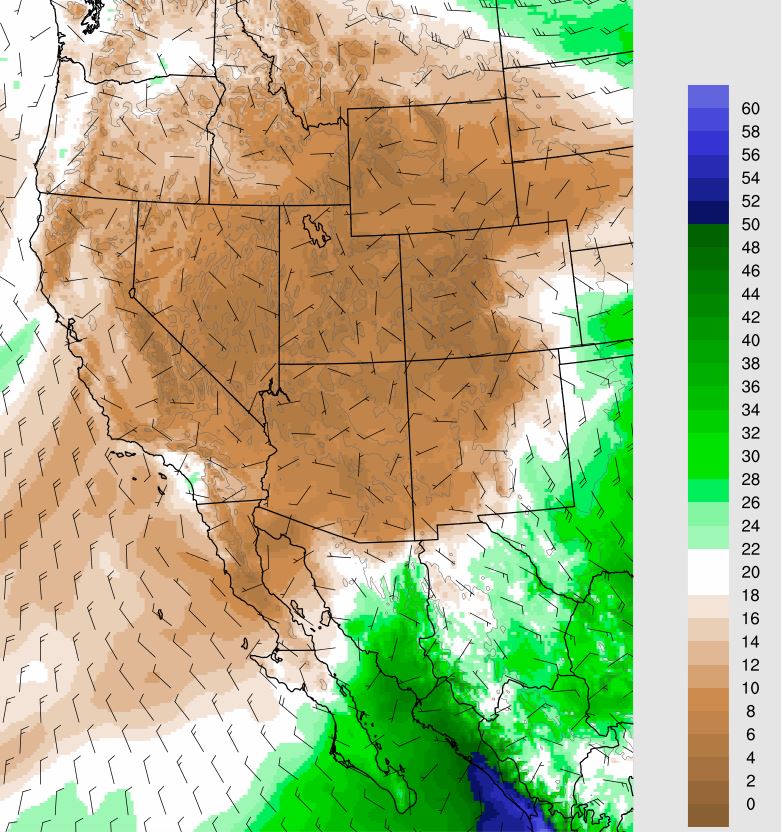
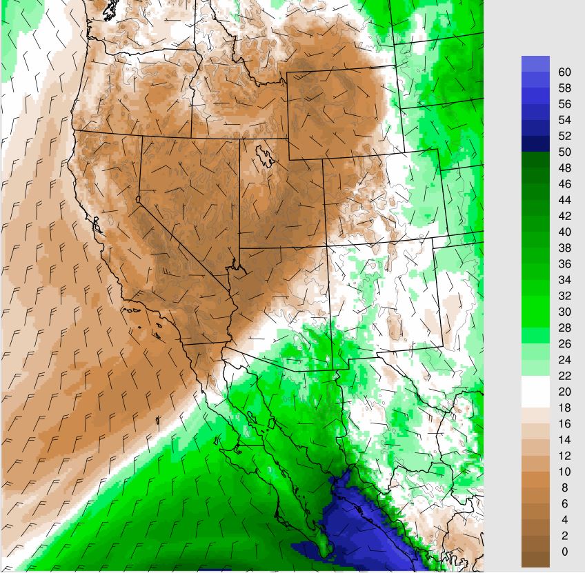
As Hurricane Blas moves westward south of 20 N, low-level moisture pushes slowly northward into southeastern Arizona. The PW plots here are from the 06 UTC WRF-GFS valid at 06 UTC this morning (above) and at 06 UTC on the 19th (below).

The increased moisture leads to thunderstorm activity by the weekend, particularly on Saturday. The two forecasts shown here are for total precipitation from now through 11:00 PM Sunday night. The forecasts are similar, but with the GFS (above) indicating a bit more rainfall in eastern Pima County than does the WRF (below).

No comments:
Post a Comment