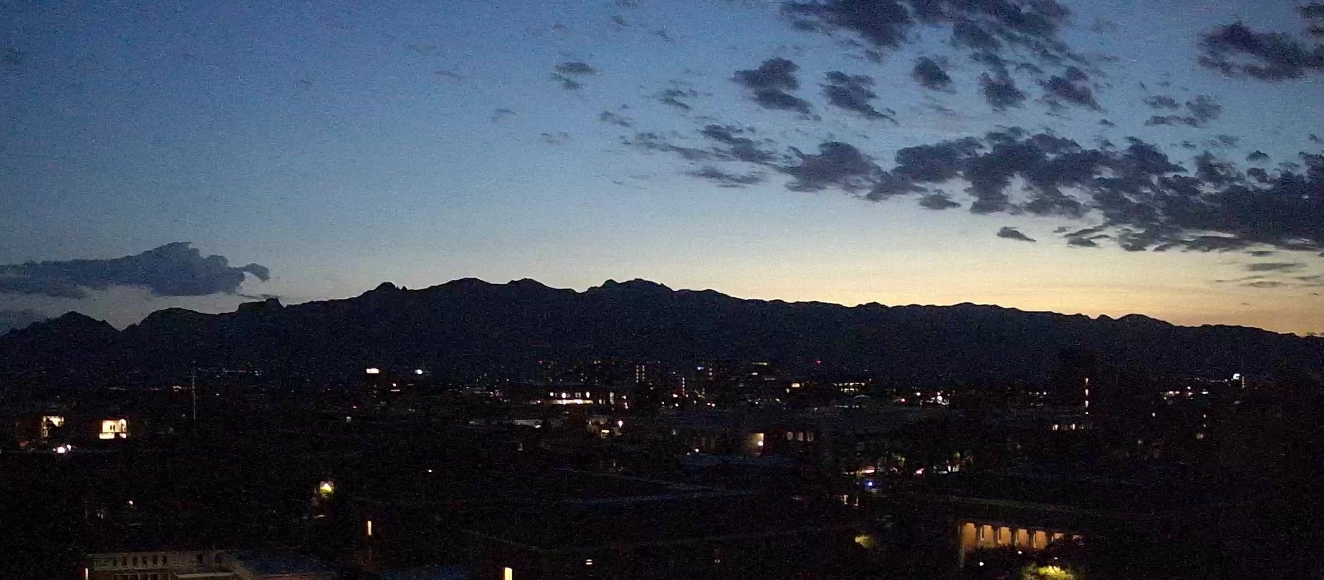
View of Catalinas at about 5:00 am MST this morning.

Plot of CG flashes for 24-hours ending at 0703 UTC last night (from Atmo and Vaisala). There were only some flashes on the mountains east of the metro area. Plot of 24-hour precipitation for period ending at 7:00 am this morning (below - from MesoWest at Univ. of Utah) shows that metro area was generally rain-free - see previous post. There was nothing here at the house.


The 500 mb analysis this morning (above, from SPC) shows anticyclone circulation centers over west Texas and also over western Arkansas. The morning sounding (below - from Univ. of Wyoming) indicates a substantial area of CAPE according to my estimate for afternoon conditions - ignore the analysis shown on the figure. Winds aloft are fairly chopped up.


The morning forecast from the TUS NWS Forecast Office (above) calls for 30 to 60 percent POPS for every forecast forecast period through next Monday (even though I only show through Thursday in the snip).
Radar from 0735 am this morning (below) shows a few light showers have developed in the local area.

No comments:
Post a Comment