
View looking toward Redington Pass at 6:00 am MST this morning.

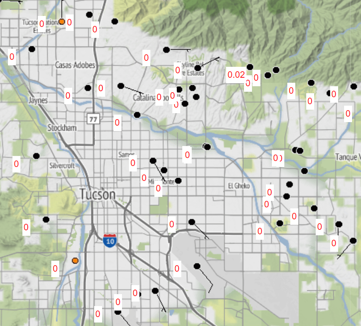
Yesterday was very suppressed, as per plot of detected CG flashes (above from Atmo and Vaisala), and MesoWest rainfall map through 7:00 am this morning (below). Forecasts shown in yesterday's post were busts.

At 500 mb this morning (from SPC above) the 500 mb anticyclone has inched a bit westward and is centered over west Texas. The 12 UTC TWC/TUS sounding (below, also from SPC) is moist below 500 mb, with considerable CAPE. Steering winds are southerly around 30 kts.


Morning forecasts from WRF-HRRR through midnight (above) and from NWS (below).

No comments:
Post a Comment