
Nice view of twin storms over the Catalinas before noon yesterday morning.

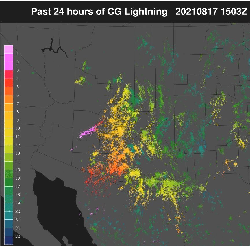
Severe storm reports yesterday afternoon from SPC (above). There were only 27 severe events and 14 of them were in Arizona, with many around the greater Phoenix area. Composite display from Phoenix radar (below) at about 11:30 pm MST last night. Plot of detected CG flashes (second below) shows that southeastern third of Arizona was very active. I suspect that there were additional severe thunderstorms that occurred over remote areas with no one to report them.


Every ALERT site had rainfall for 24-hours ending at 6:00 am this morning! - amounts ranged from 0.04" to 2.40", with most of rain at low elevations occurring around and after midnight. Local amounts: Atmo 0.30"; here at house 0.39"; Airport 0.47"; DM 0.67" ; and Marana 1.17".


At 500 mb this morning (above from Univ. of Wyoming), height gradients are very slight across all of the analysis, except in the Pacific Northwest and there are numerous weak features. Note that a number of sites are missing, including TUS/TWC.

The 06 UTC GEFS plumes for QPF at airport (above) show heavy rains continuing through next 24-hours. Given the rains last night, I would expect today to be suppressed. However, I did notice that several of the WRF runs forecast storms after midnight again tonight (similar to the operational GFS - blue trace above).
Finally, Tropical Storm Grace (currently over Jamaica) is forecast to take an unusual track and cross central Mexico - perhaps having her remnants move into the south end of the GoC.

No comments:
Post a Comment