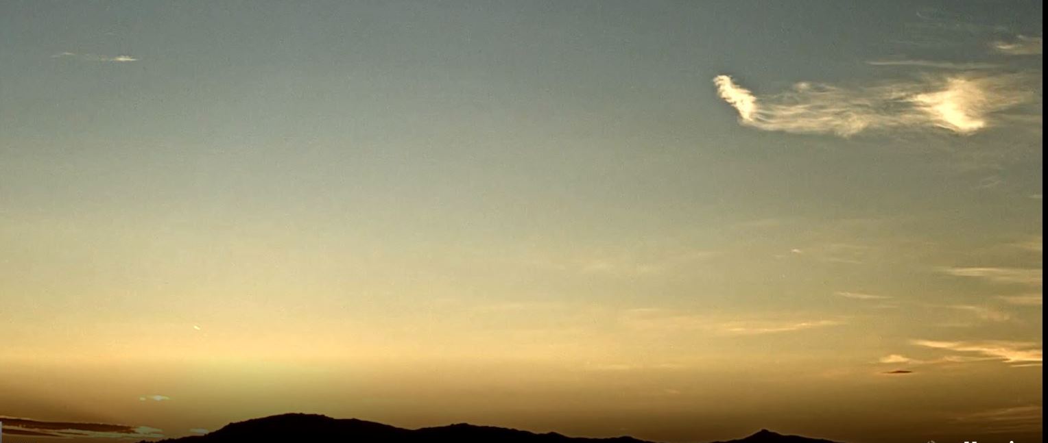
View looking toward the Rincons at 6:15 am MST this morning.
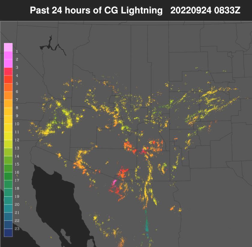
Yesterday was mostly a down day Pima County and also most of the metro area. Plot above shows detected CG flashes (from Atmo and Vaisala) for 24-hours ending 0133 am this morning. Note the clusters of CGs on the north side of the Catalinas and also down near Green Valley. No precipitation reports across most of the ALERT network - two graphics below for 24-hours ending at 7:30 am this morning.
Yesterday's WRF-RR had by far the best forecast for our area - see bottom two graphics in previous post.


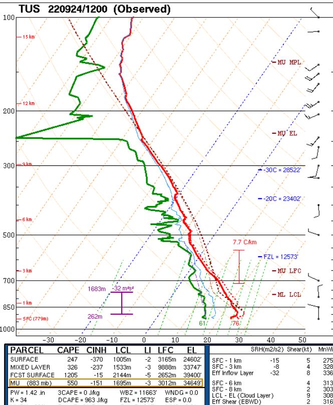
The 500 mb analysis is a real mess over the souther and western US at 12 UTC this morning (above) due to very weak height gradients. There is a weak anticyclonic circulation over the Big Bend country of Texas, with light westerly winds across Arizona. The 12 UTC sounding from TWC/TUS still has 1.42" of PW, but models forecast a decrease over the weekend to values below an inch. Winds below 250 mb are very light. No steering flow if storms were to develop later today.

Forecast above (from the 12 UTC WRF-RR) indicates little rain across all of Arizona, except for southern Cochise County. The morning graphic from the NWS (below) has me scratching my head, given the overall situation this morning. The insert graphic at right top is illegible, even on the NWS web page, but it basically highlights the eastern portion of the TUS forecast area.

No comments:
Post a Comment