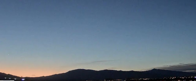
Pre-sunrise color over Redington Pass about 5:30 am MST this morning.
Tropical Storm Javier developed in the eastern Pacific early this morning. The current forecast from NHC (down at bottom) turns the storm westward, keeping it well away from land.
Plot of detected CG flashes (from Atmo and Vaisala) above is for 24-hours ending at 0933 UTC this morning. Storm activity yesterday remained well northwest and also south of our area. There was some wind damage reported yesterday evening near Queen Creek (southeast of Phoenix).
Current graphic from NWS Forecast Office webpage (above) calls for possibly severe thunderstorms this afternoon. However, current forecast for the airport (below) makes no mention of storms today/tonight. Not sure what got crossed up at the NWS this morning.
The morning 500 mb Analysis (above) shows that the anticyclone has strengthened some and consolidated over the Great Basin. This has brought strong easterly winds over much of Arizona. The remnants of the inverted trough are skirting along the Borderlands.
The morning sounding from TWC/TUS (below) has at least some CAPE, but also a nasty warm layer above 500 mb that may keep the BL capped. PW is over an inch, but models forecast some drying during the day, with its value dropping below an inch.
The 12 UTC WRF-RR forecast for rainfall through midnight tonight is second below. That forecast keeps our corner of the state dry again today.


No comments:
Post a Comment