Thursday, September 26, 2019
Dry And Mild After Today
Pre-sunrise view of Catalinas above from Atmo, and stratus streaming over Kitt Peak bottom.
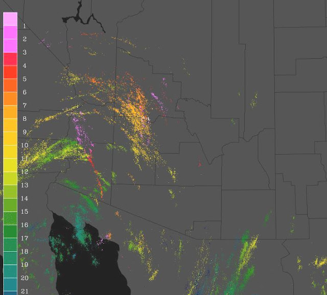
Plot above of detected CG flashes (from Atmo and Vaisala) for 24-hours ending at 5:30 am MST this morning. Most thunderstorm activity yesterday was in western half of state, with little happening in the region of flash flood potential highlighted for eastern Pima and Pinal Counties yesterday.
Rainfall yesterday occurred mostly during early morning hours. Rain here at house totaled 0.23", but only 0.03" of that fell during the day. Plot above shows three day rainfall across parts of ALERT network ending 6:00 am this morning.
The 500 mb closed low has moved over southern California this morning (above and below for 12 UTC from SPC). The low is forecast to open up and move across Arizona during the day today. After that the long-range forecasts are for fair and dry conditions through following six days.
The TWC sounding plot above has PW around an inch, and some CAPE, but warm temperatures in middle-levels. Although official forecast is for 30% POPs across metro area this afternoon, the forecast from the 06 UTC WRF-GFS run at Atmo forecasts only some light showers late afternoon/evening over the Catalinas. Quick check of the forecast soundings from that run show that the warm middle levels are putting a cap on the activity.
For the longer term, the NHC morning outlook below forecasts a tropical disturbance heading toward south end of Baja during the next five days - something to watch.
Subscribe to:
Post Comments (Atom)


No comments:
Post a Comment