
Nice view at 6:00 am MST this morning.

There was limited thunderstorm activity in eastern Pima County yesterday as shown by the plot of detected CG flashes above (from Atmo and Vaisala) for the 24 hours ending at 0833 UTC last night.
The ALERT plot below for 24 hours ending at 7:00 am this morning shows scattered sites with 0.04" and greater rain amounts. There were two sites with 0.04" off the map near Green Valley. Heaviest amounts occurred across the southern part of the metro area. The airport reported 0.71" and DM had 0.22". We had only 0.01" here and Atmo reported no rain.
There was one tornado reported in the country yesterday, and that was a brief landspout near the Los Reales Landfill south of the airport.

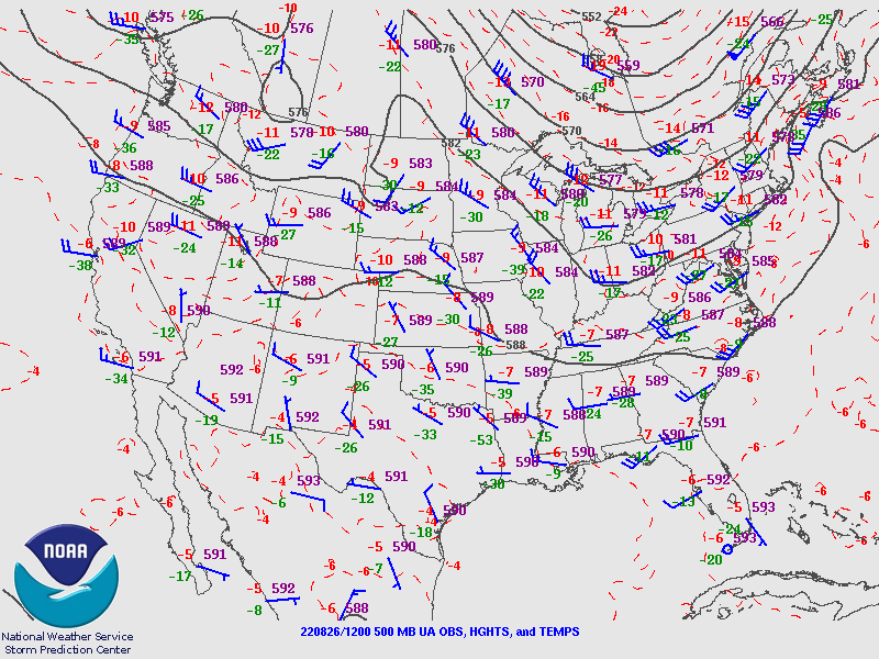
The 500 mb (above) anticyclone remains very weak and the center continues over northern Mexico. This morning's sounding from TWC/TUS (below) remains very moist and with significant potential CAPE.

Forecast below shows rainfall amounts through midnight tonight forecast by the 06 UTC run of the WRF-GFS - another day with scattered storms around the metro area.

No comments:
Post a Comment