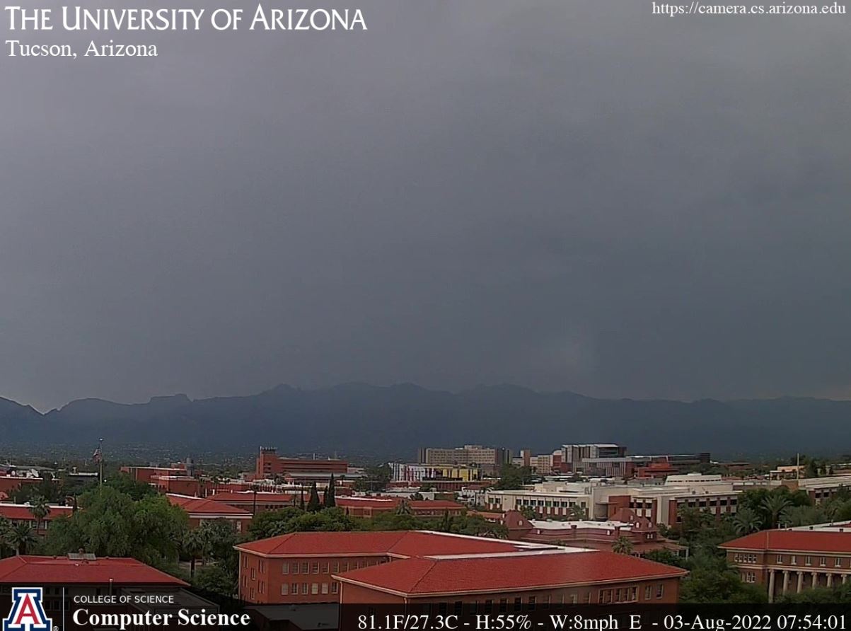
Morning view on 3 August, with light showers around the metro area.

Yesterday was quite suppressed across eastern Pima County, except for thunderstorms over the mountains - plot of detected CG flashes for 24-hours ending at 07:33 UTC this morning (above - from Atmo and Vaisala). Radar (2nd tilt - below at 07:53 UTC) shows light showers over mush of metro area, but with thunderstorm just south of airport, which is currently reporting thunder.


The large anticyclone at 250 mb (above) is situated over New Mexico at 12 UTC this morning.

The 06 UTC GEFS plumes (above) continue to show afternoon rainfall through the week. The operational GFS (blue) is quite a heavy outlier, forecasting an inch at airport this morning - which didn't occur.
The 06 UTC WRF-GFS forecast for total rainfall through midnight tonight (below) indicates a significant event for the eastern portions of the metro area. Model also forecasts a strong outflow across the area - 10-m wind forecast (second below) is valid at 8:00 pm this evening.
The morning storms though will likely impact how the rest of the day evolves, and we'll just have to monitor what actually transpires.


Finally, NWS graphic from yesterday morning (below) forecast a significant storm day for the metro, but that certainly did not verify. Not quite sure what led to this outlook, since large-scale setup did not favor a widespread, severe event.

No comments:
Post a Comment